Fresh ‘low’ forms in Bay, signals heavy monsoon showers
An anticipated low-pressure area formed over the North-West Bay of Bengal on Monday, which the India Met Department (IMD) expects to become ‘more marked’ (an initial round of intensification) and boost the monsoon system as a whole.
Its impact will unfold as it moves in a typical West-North-West track to cover East India, Central India, West India and North-West India in what would be a productive session.
Heavy rains seen
The IMD has forecast widespread rainfall with isolated heavy to very heavy falls over Bengal into Tuesday and over Odisha and Jharkhand into Wednesday.
Fairly widespread to widespread rainfall has been forecast for Chhattisgarh on Tuesday and Wednesday; over Madhya Pradesh from Tuesday to Thursday; and over Rajasthan and Gujarat from Wednesday to Friday.
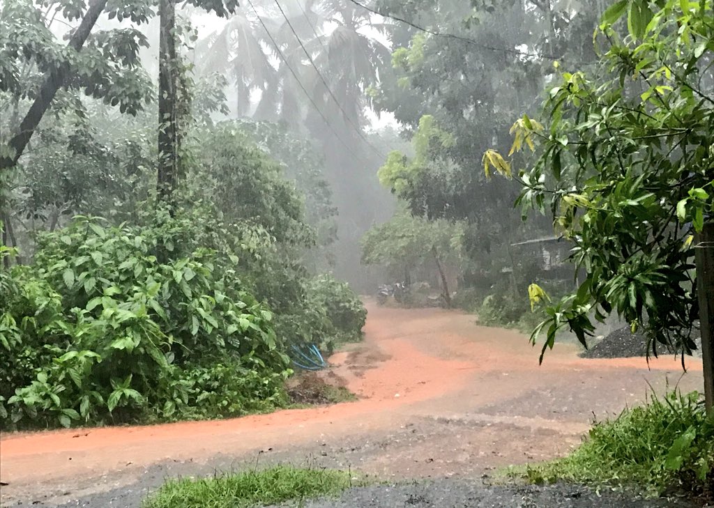
The IMD has warned that strengthening of low-level monsoon westerly winds (from the Arabian Sea) may bring widespread rainfall with isolated heavy to very heavy falls along the West Coast and the Ghat areas during the next three days.
Along with this, the convergence of monsoon easterlies from the Bay could trigger fairly widespread to widespread rainfall with isolated heavy to very heavy falls over the Western Himalayas and adjoining plains of North-West India during the next two days.